|
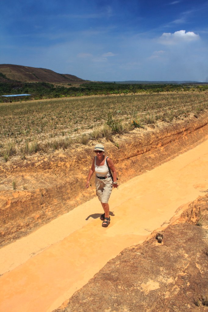 |
| We have to bypass the Rápidos de Mayupa by foot due to low water level | |
| Latitude: N 6°12'25,78" | Longitude: W 62°47'16,36" | Altitude: 451 metres | Location: Mayupa | State/Province: Estado Bolívar | Country: Venezuela | Copyright: Ron Harkink | See map | |
| Total images: 70 | Help | |